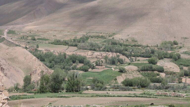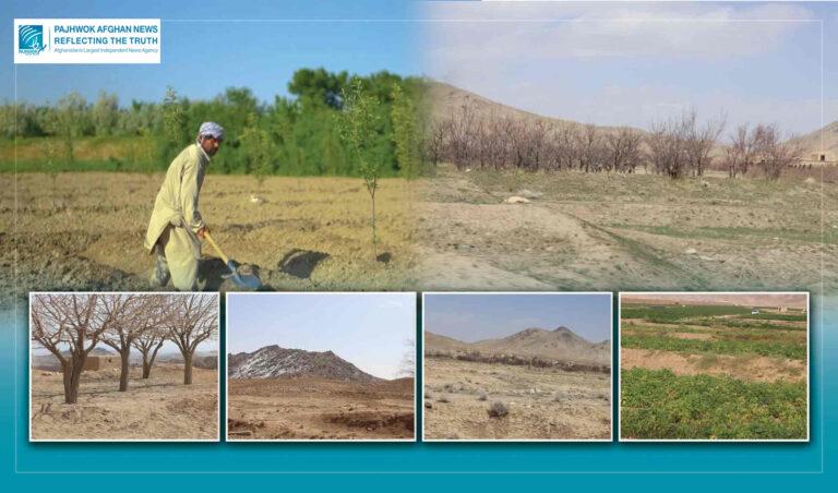

KABUL (Pajhwok): The National Statistics and Information Authority (NSIA) says Afghanistan’s forest cover has expanded by 427,000 hectares over the past one and a half decades.
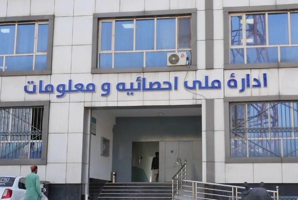
In a statement, the NSIA said it identified the country’s forest cover in the 1404 solar year using remote sensing technology and satellite imagery.
It said the findings showed a 427,000-hectare increase — or 35 percent — in forest cover compared to 1390.
It added that satellite mapping data indicated that Afghanistan had around 1.6 million hectares of forest land in 1404, accounting for 2.54 percent of the country’s total land area.
The statement put the combined area of forests and shrubs at about 3.3 million hectares, representing 5.06 per cent of the country’s territory.
It added that analysis of the latest figures showed an increase of 427,000 hectares in forest cover and 1.5 million hectares — or 83 percent — in the combined area of forests and shrubs compared to 1390.
According to the authority, the largest increases in forest cover were recorded in Paktia, Khost, Badakhshan, Baghlan, Badghis, Nangarhar, Kunar, Herat and Laghman provinces.
It noted that Nuristan province had the largest forest area in the country, with 274,000 hectares, followed by Kunar with 253,000 hectares, Badghis with 180,000 hectares, Paktia with 170,000 hectares, Khost with 128,000 hectares and Paktika with 119,000 hectares.
Natural forests were considered an important national asset and play a significant role in economic development, the statement concluded.
hz