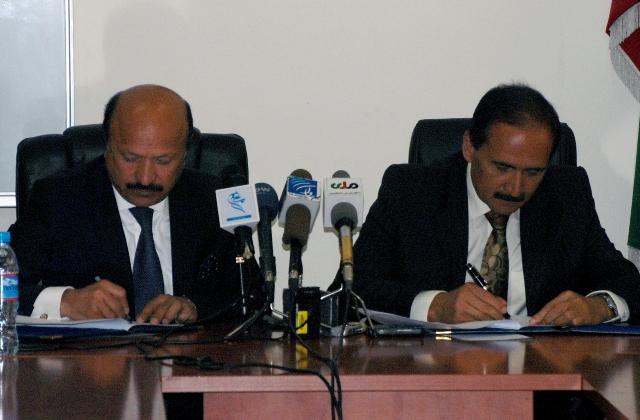
KABUL): The Telecommunication and Information Technology on Sunday announced the launch of the Global Positioning System (GPS) in Kabul.
A Memorandum of Understanding for project with an estimated cost of $25 million was signed on Sunday between telecommunication minister Amirzai Sangin and Kabul Mayor Mohammad Younus Nawandesh.
Identification of roads, establishment of principles for GIS maps such as maps of roads, signboards, code numbers of houses and signboards will be included in the new system.
Sangin told a press conference after the signing ceremony the GIS technical team would collect coordinates of each place for compiling a complete list of addresses.
“Lack of proper addresses in major cities created problems for us. As a result, we decided to have a better system of addresses according to international standards,” he added.
An electronic map of Kabul would be also included in the project, which would be implemented in a year, he said, explaining the map could be used on mobile phones and computers.
Currently, telecommunication companies have no GPS system. The contract had to be awarded to another firm to bring the technology to Afghanistan, he said.
Contingent on its success in Kabul, the GPS system will be extended to major cities such as Mazar-i-Sharif, Kandahar, Herat, Kunduz and Jalalabad.
Identifying houses and streets as a basic need, Kabul Mayor Nawandesh said many roads had been named by a commission led by the information minister.
myn/mud


GET IN TOUCH
NEWSLETTER
SUGGEST A STORY
PAJHWOK MOBILE APP